Hochtirol Trail
Hochtirol ski route done as a solo trail run / hike / climb -bivouacking only.
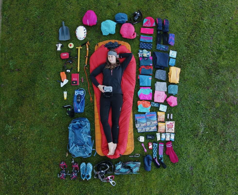
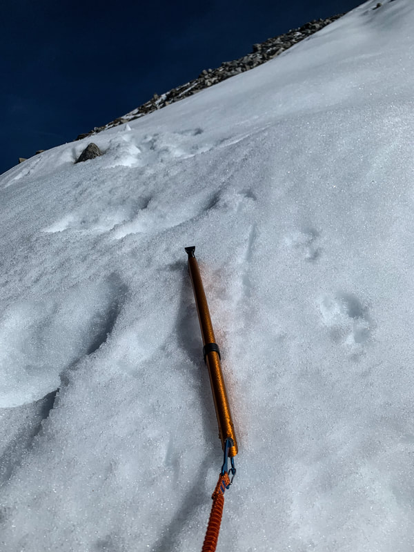
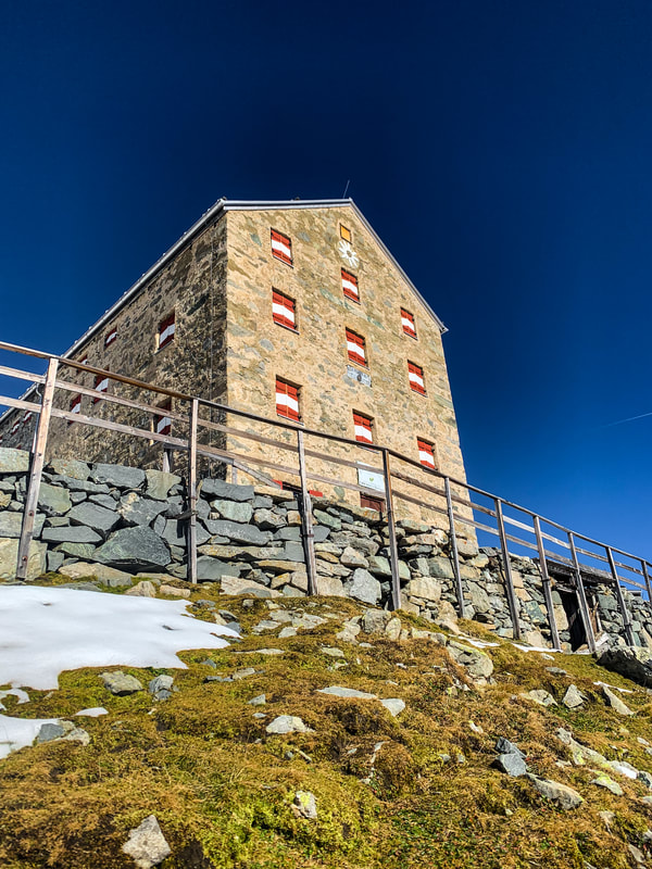
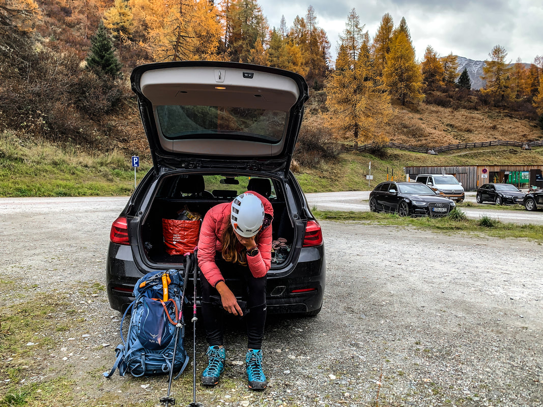
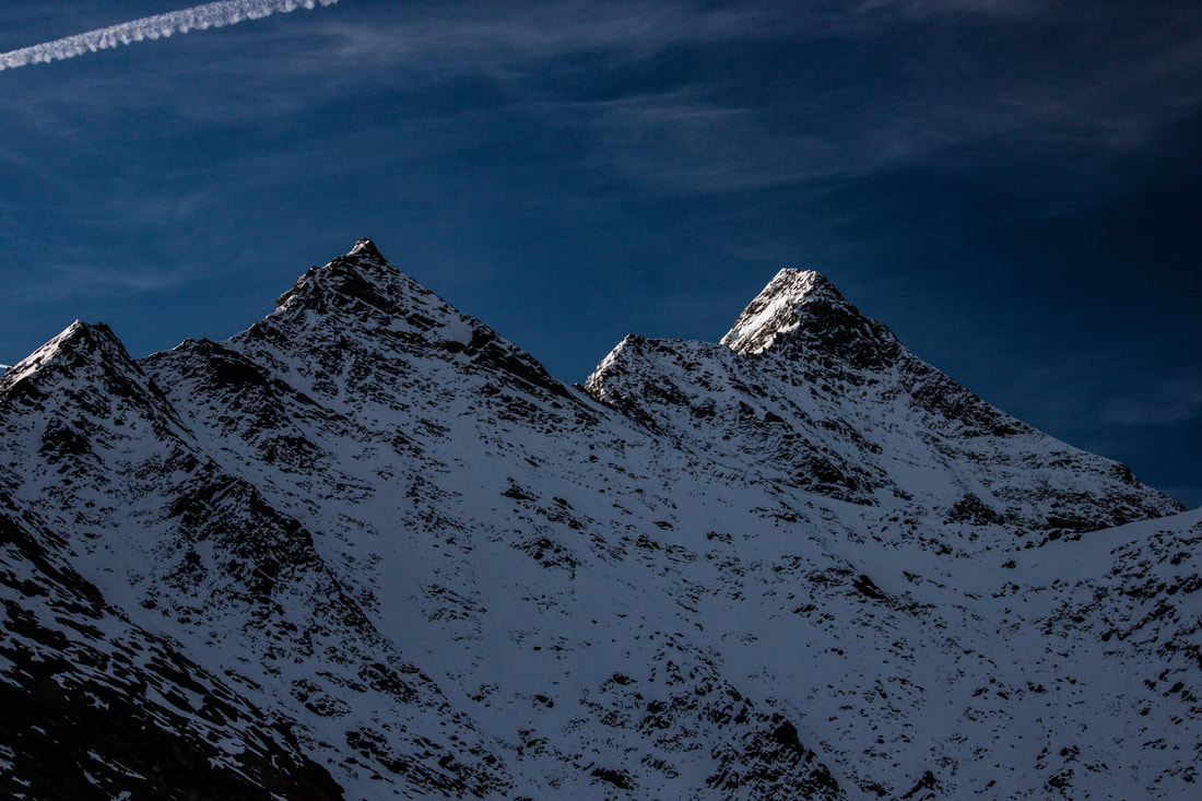
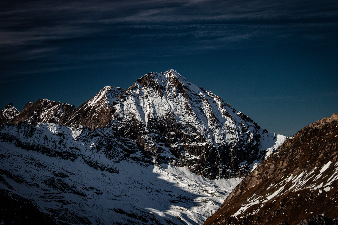
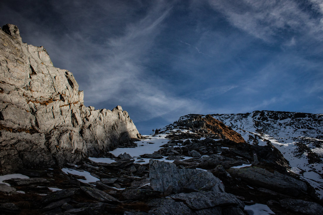
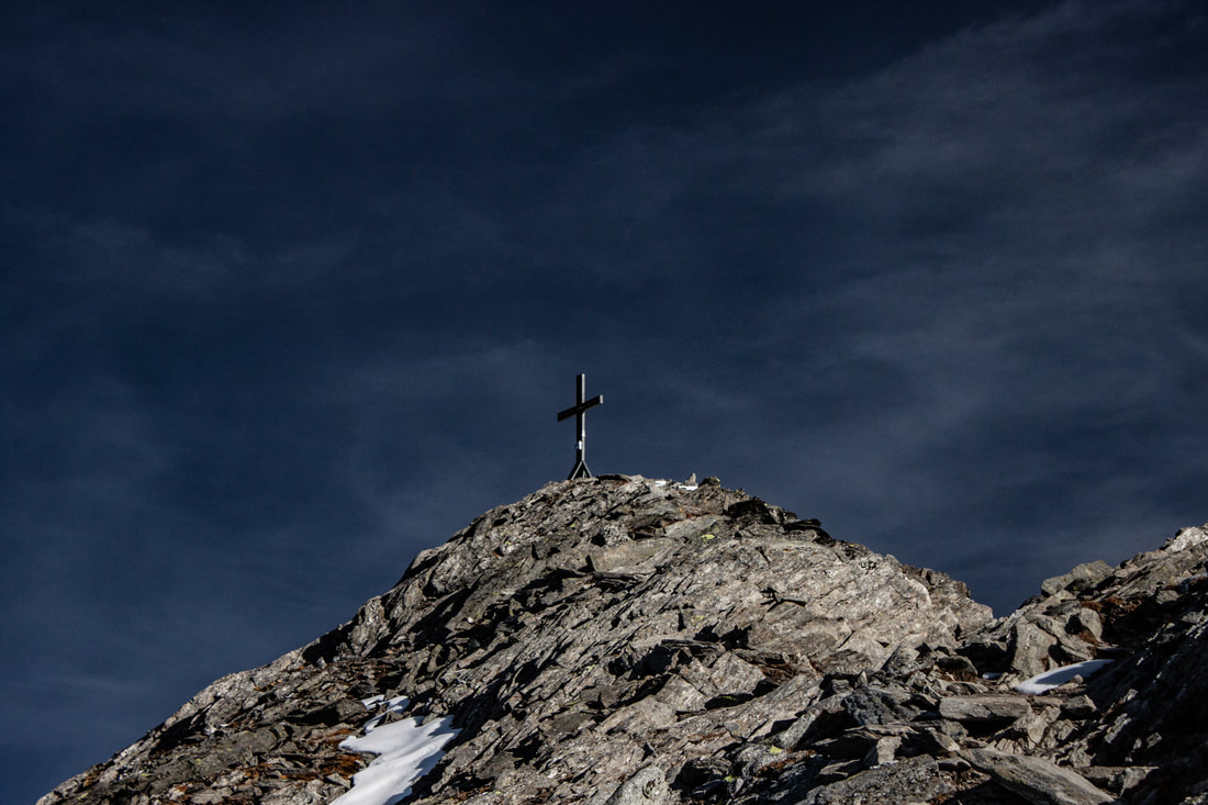
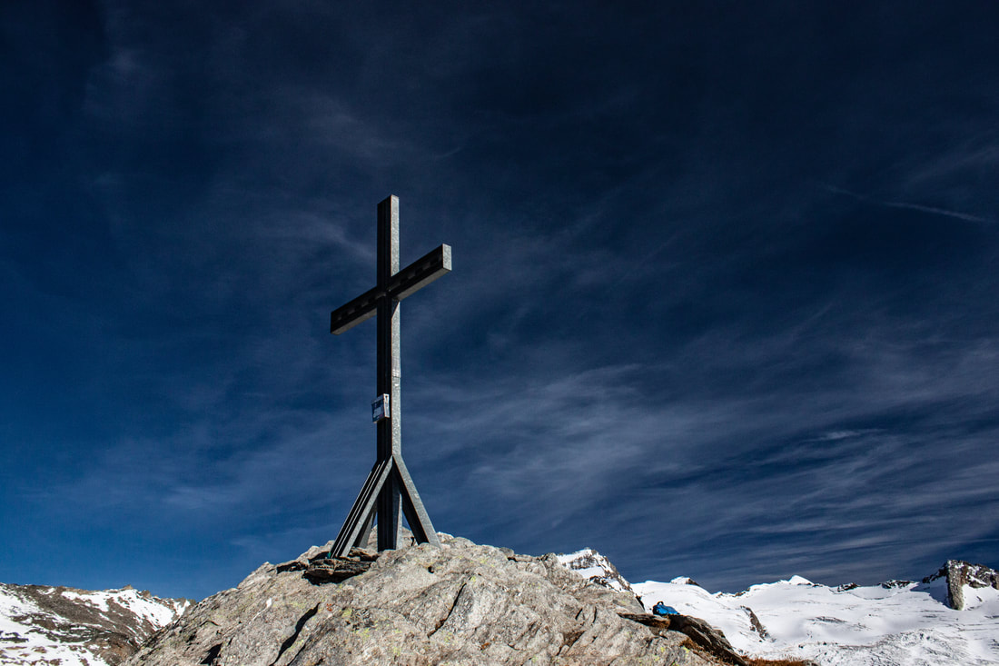
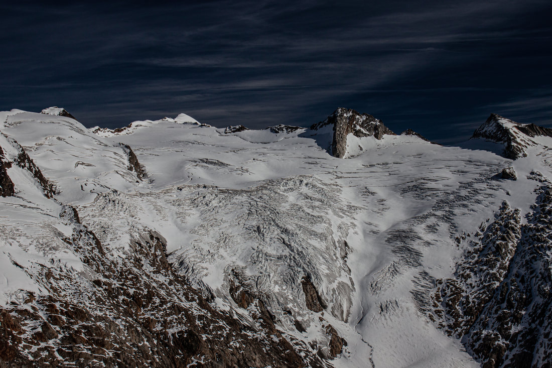
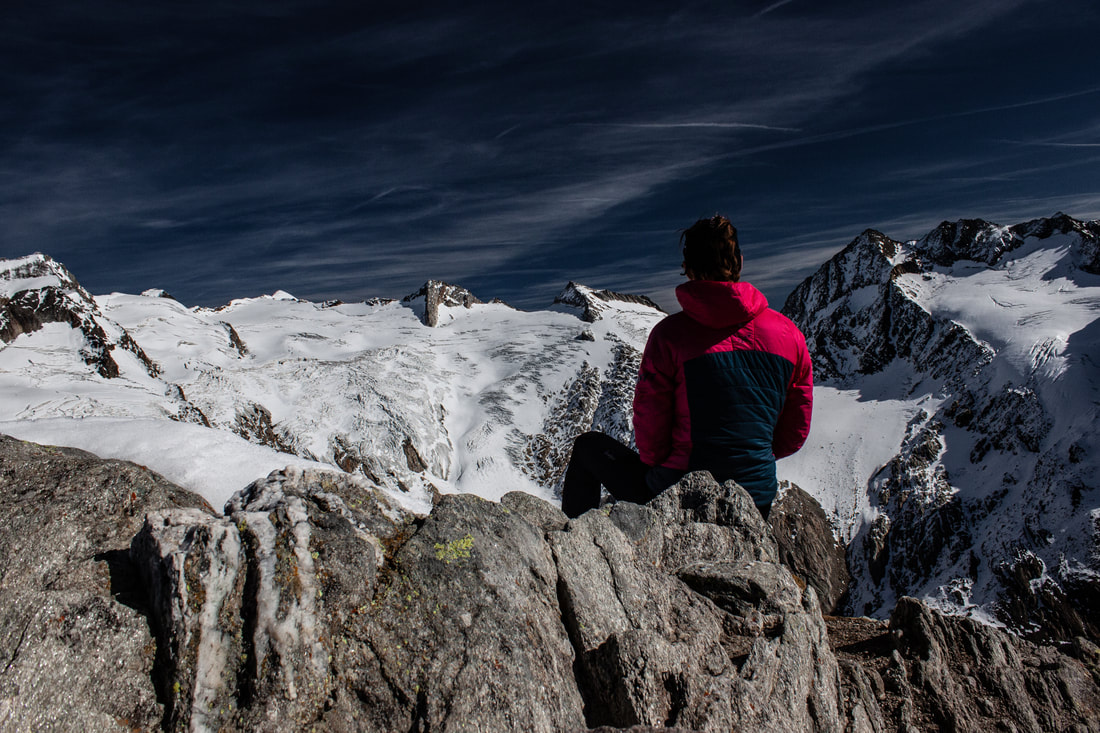
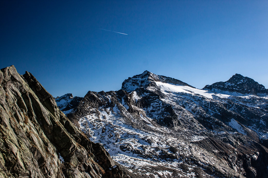
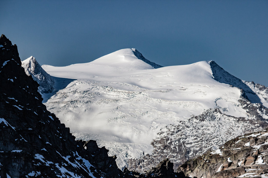
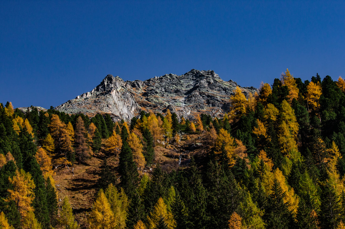
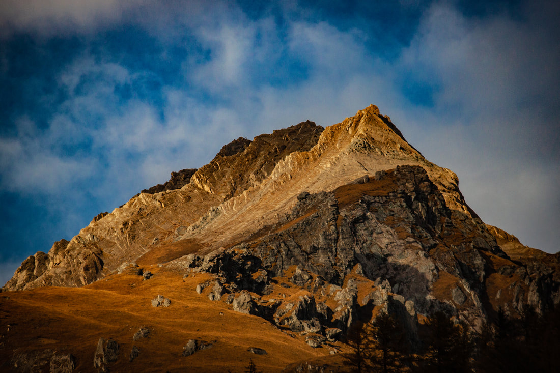
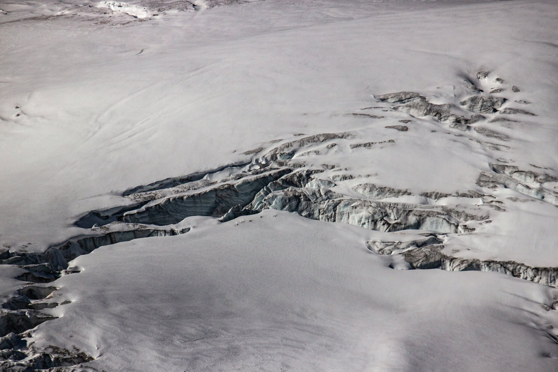
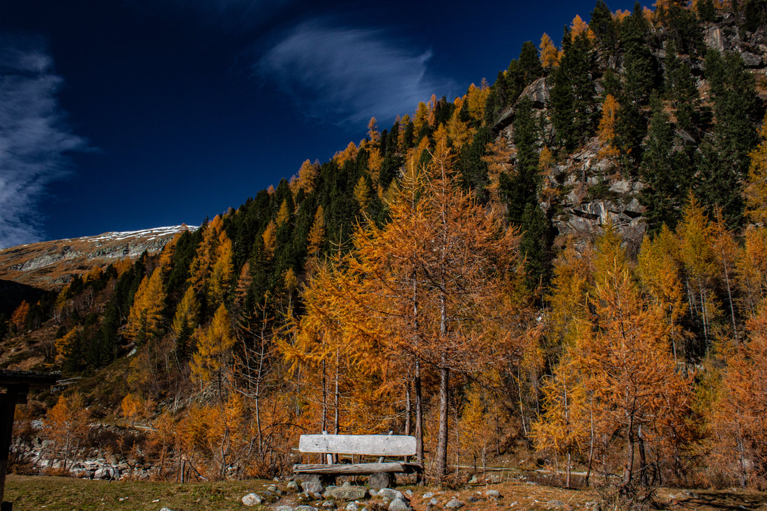
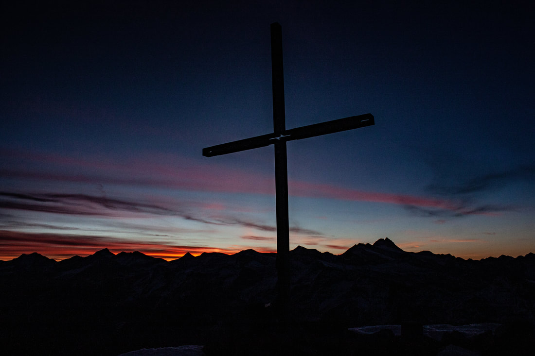
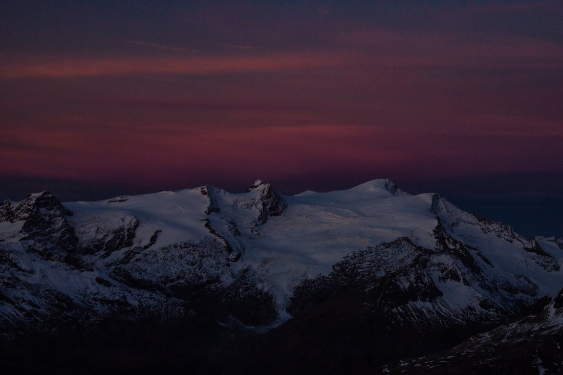
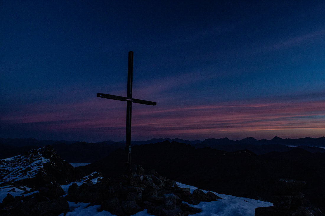
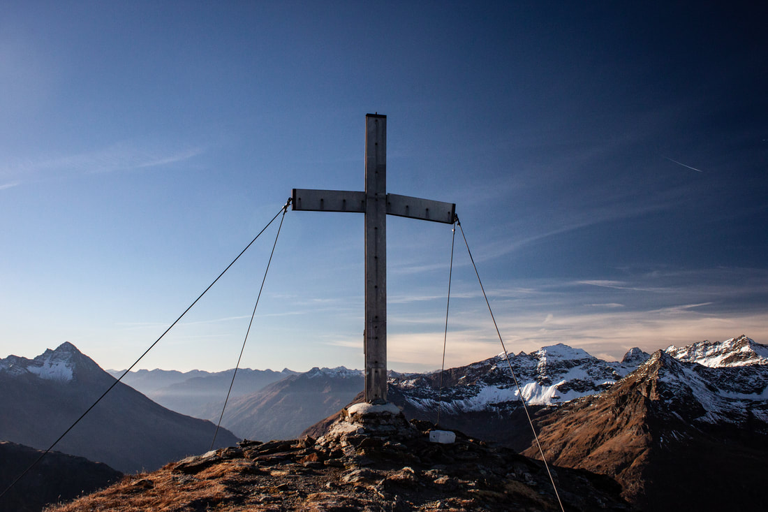
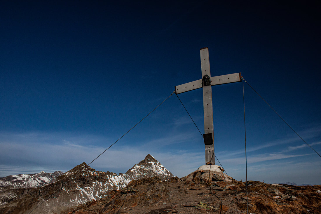
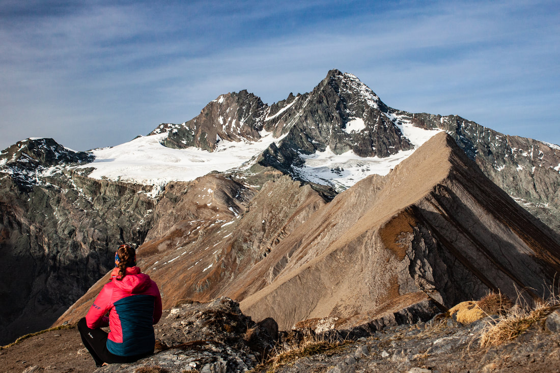
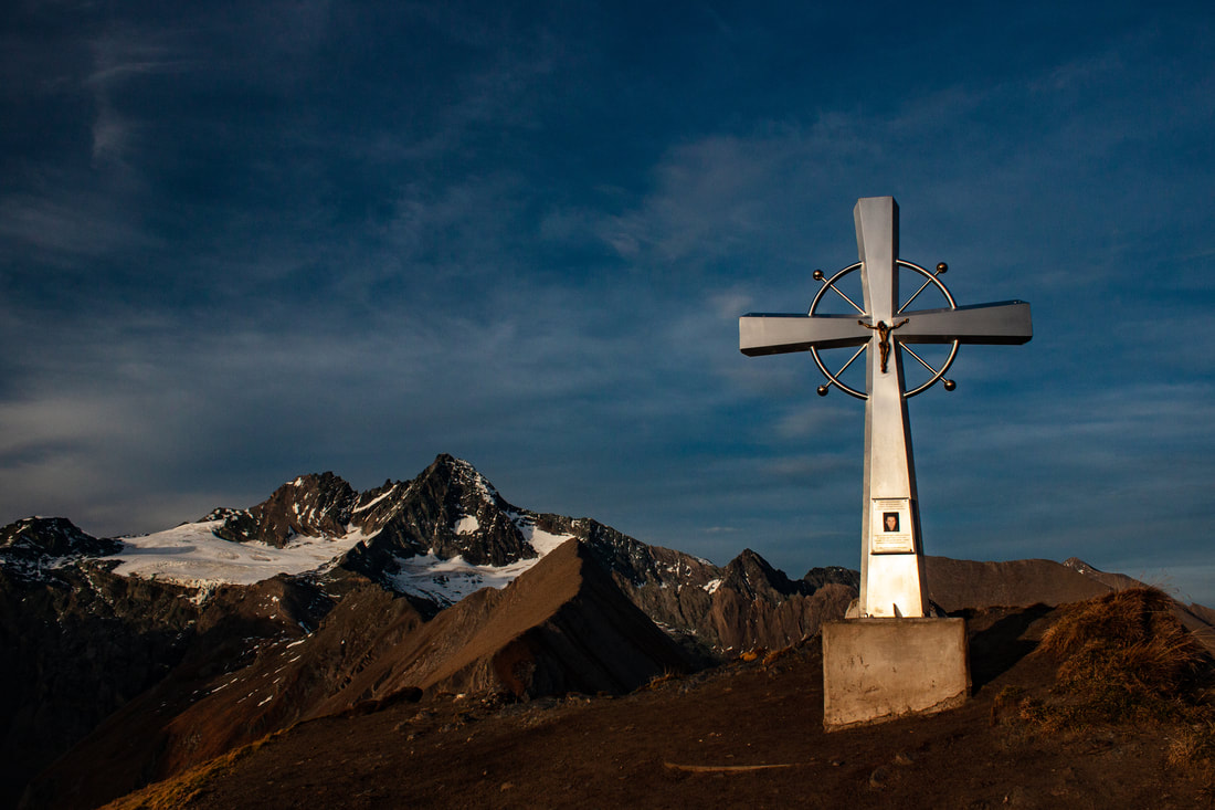
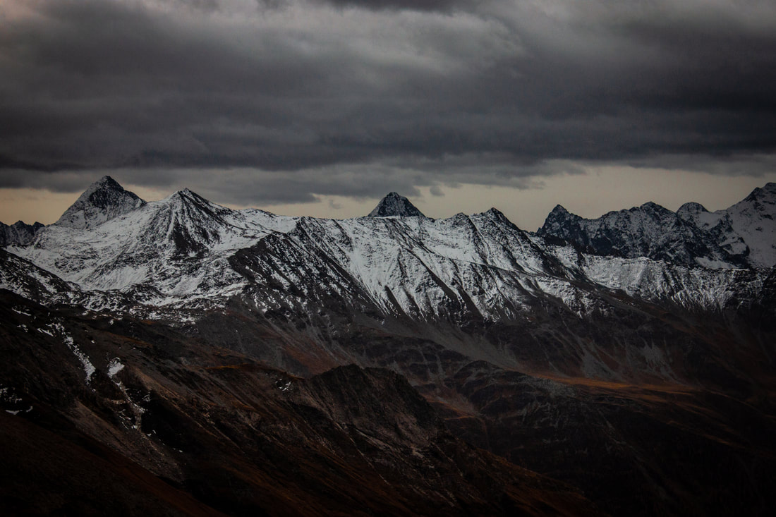
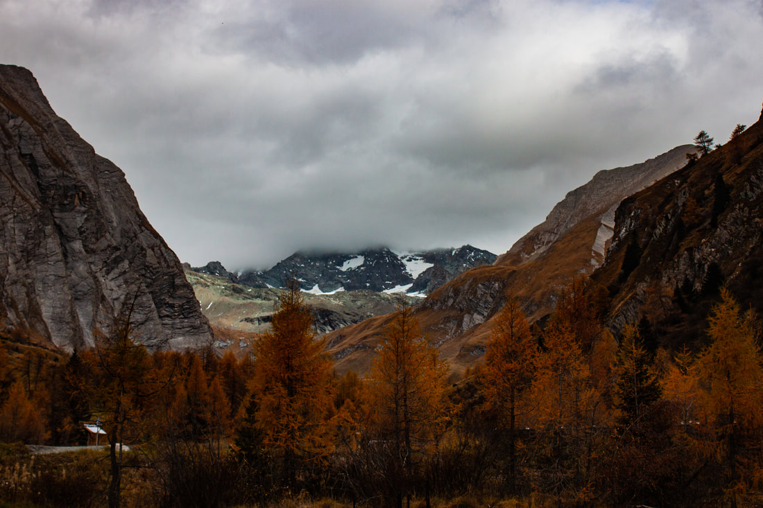
After 5 days, 106.1 km, 9823 vertical meters up and 9591 vertical meters down I made it almost to the top of Austria. The route led me from the autumnal Kasern (South Tyrol) via the glaciated summits and beautiful valleys of East Tyrol, to the Großglockner. Due to the drastic weather changes on Friday I had to make the decision at 3630 m to turn around.
"Montagne care, voi non mi mentite –
non mi mandate via, né mai fuggite.
Quegli occhi sempre fissi – sempre uguali –
mi guardano lontani, viola, lenti –
quando fallisco o fingo, o quando invano
mi attribuisco titoli regali.
Il suo ultimo gesto di pietà –
quando il giorno svanisce su nel cielo –
è levare lo sguardo verso voi."